Description
Established 1964.
Previously part of Central Karamoja Controlled Hunting Area.
Geographical Location
In the Karamoja region, just north of Moroto, extending along the border with Kenya. 2°40′-3°07’N, 34°10′-34°50’E. lUCN Directory of Afrotropical Protected Areas Altitude 1,200- 1,600m Area 160,000ha; contiguous to Bokora Corridor Game Reserve (205,600ha) and the eastern Uganda complex of Controlled Hunting Areas Land Tenure Government
Physical Features
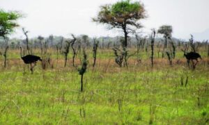
The reserve is part of the Karamoja plateau. It is bounded on the east by the Great Rift escarpment which forms the Uganda/Kenya border in this area and is interrupted in the south by spurs and extensions of higher ground. Vegetation Thorny deciduous thicket
Fauna
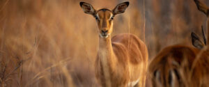
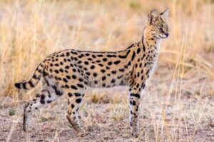
Resident mammals include lion Panthera leo, leopard Panthera pardus (V), cheetah Acinonyx jubalus (V), giraffe Giraffa camelopardalis, eland Taurolragus oryx, roan antelope Hippotragus equinui, and Bright’s gazelle Nanga notatus.
The area has been the traditional pasture during the wet season for herds migrating from southern Karamoja, particularly from the Pian-Upe plains.
Location
-
Matheniko Game Reserve, Magosi, Uganda

Add a review