Description
Established 1965
The reserve was previously part of a larger area established as a Controlled Hunting Area
Geographical Location
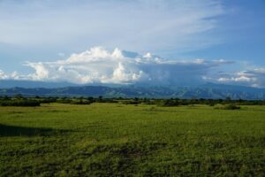
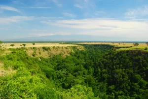
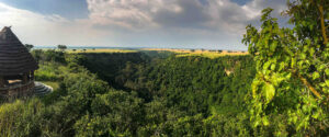
South-west Uganda bordering the southeast of the Kazinga Channel and the south shore of Lake George. 0°05’S, 30°05’E. Altitude 700- 1,1 00m Area 15,700ha; contiguous to Queen Elizabeth National Park (197,800ha) and its associated reserves Uganda Land Tenure Government Physical Features The terrain is characterized by small hills and about 10 crater lakes above the east wall of the western Rift Valley (here interrupted by the vast upheaval of the Ruwenzori range). The area also contains a number of swamps. The boundary with Queen Elizabeth National Park is defined by the Kyambura River which flows into the Kazinga Channel. Vegetation Savanna grassland and deciduous thickets
Fauna
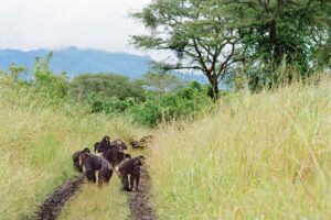
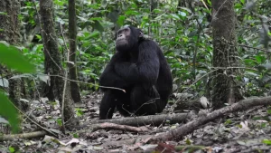
The fauna is similar to Queen Elizabeth National Park with mammals including hippopotamus Hippopotamus amphibius, lion Panthera leo, leopard Panthera pardus, elephant Loxodonta africana, buffalo Syncerus caffer, and a variety of antelope and other small ungulates. Waterbirds feature prominently in the avifauna including occasional visits by lesser flamingo Phoeniconaias minor.
Zoning
The reserve forms a buffer zone for animals moving out of Queen Elizabeth National Park. No zoning exists within the reserve.
Disturbances or Deficiencies
Small fishing villages existing at the time of the declaration of the reserve remain, but further settlement is prohibited. There is poaching of hippopotamuses and other games for meat and illegal fishing.
Visitor Facilities
Access is by unsurfaced tracks only passable in dry weather. Scientific Research Periodic animal population surveys.
Location
-
Kyambura Gorge, Katunguru, Uganda

Add a review